Hiking Seaside
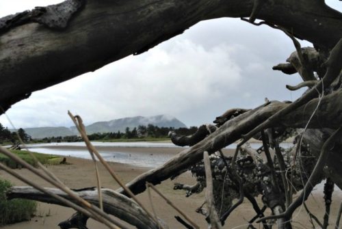
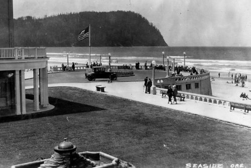
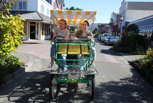
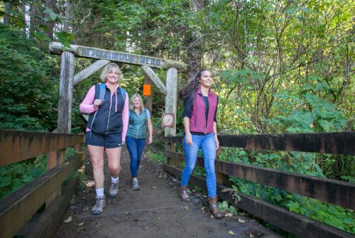
Hiking around Seaside takes many forms. From a stroll or brisk walk along the ocean Promenade, a short, easy family hike at the estuary through Gateway Park, all the way to the challenge of nearby Saddle Mountain, there are a multitude of options for every age and ability.
The North Coast Land Conservancy, Necanicum Watershed Council and Sunset Empire Park and Recreation offer special interest themed hikes and work party hikes at various times. Consider using our calendar of events to stay up-to-date on these outdoor adventures.
Hiking in #SeasideOregon
Hiking Trails of Seaside
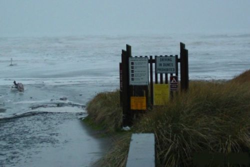
Understand Seaside's hiking rules and trail etiquette. Download PDF.
Gearhart Ridge Path Trail
-

TRAIL DISTANCE
3 miles
-

ELEVATION GAIN
30 ft.
-

Maximum elevation
30 ft.
-
Difficulty
Seaside Promenade
-
TRAIL DISTANCE
1.5 miles each way
-
ELEVATION GAIN
4 ft.
-
Maximum elevation
30 ft.
-
Difficulty
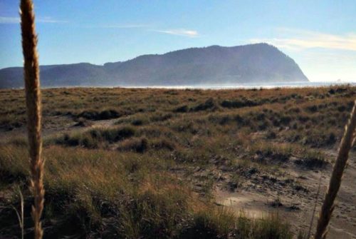
Tillamook Head Trail
-
TRAIL DISTANCE
6.3 miles each way
-
ELEVATION GAIN
1,126 ft.
-
Maximum elevation
1,248 ft.
-
Difficulty
Fort To Sea Trail
-
TRAIL DISTANCE
5.62 miles each way
-
ELEVATION GAIN
272 ft.
-
Maximum elevation
273 ft.
-
Difficulty
Neahkahnie Hike & Bike
-
TRAIL DISTANCE
4.68 miles
-
ELEVATION GAIN
1,258 ft.
-
Maximum elevation
1,705 ft.
-
Difficulty
Cathedral Tree Trail
-
TRAIL DISTANCE
1 mile each way
-
ELEVATION GAIN
100 ft.
-
Maximum elevation
125 ft.
-
Difficulty
Saddle Mountain Trail
-
TRAIL DISTANCE
2.5 miles each way
-
ELEVATION GAIN
1,615 ft.
-
Maximum elevation
3,306 ft.
-
Difficulty